|
Hawsker, 26 July, led by Tricia Mumford |
|||
Back marker: Michael Woodhouse. Pics by Tricia Mumford, Chris Bibby and Gary Malcolm. Map data from Allan Wrightson and Chris Bibby. |
|||
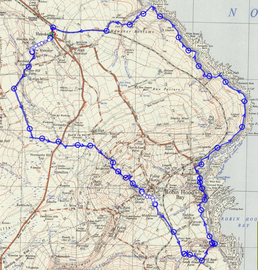
 gps track Distance: 9.9 miles
Height gain: 1543 ft |
|||
|
|
|||
|
Pics below by Tricia Mumford
|
|||
 |
|||
 |
|||
|
|
|||
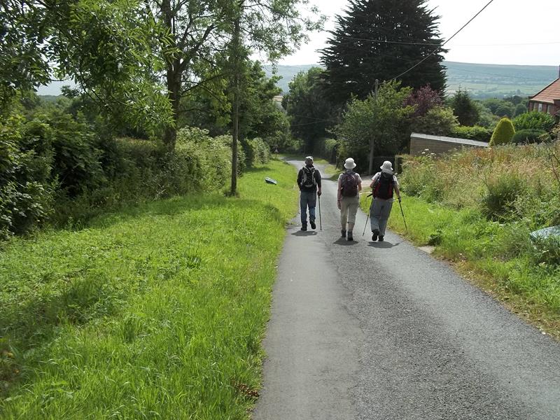 |
|||
|
|
|||
|
|
|||
|
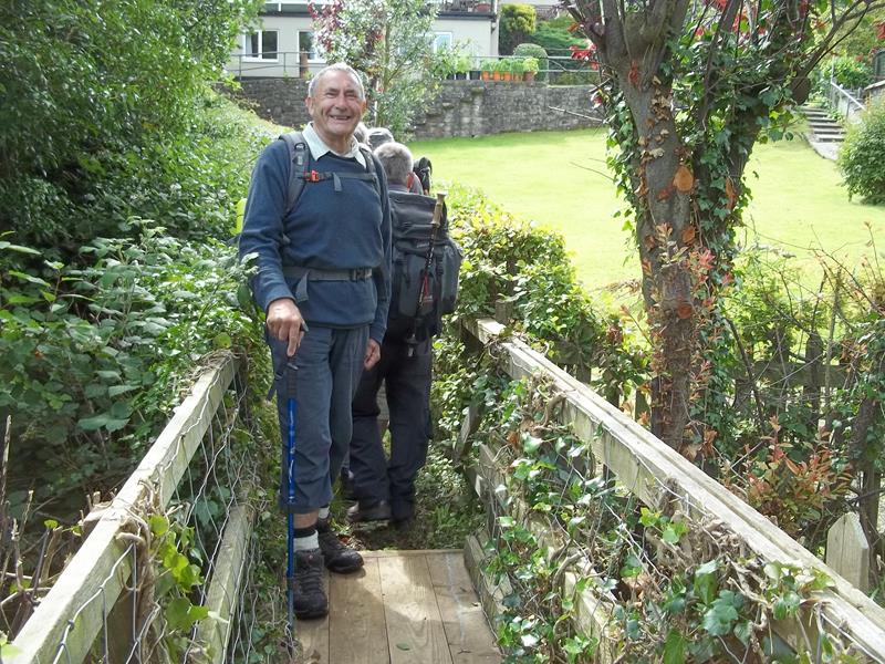
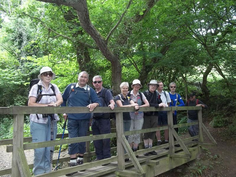
Above: Making use of a bridge that was restored by a Scarborough group working party |
|||
|
|||
 |
|||
 |
|||
|
|
|||
|
|
|||
 |
|||
 |
|||
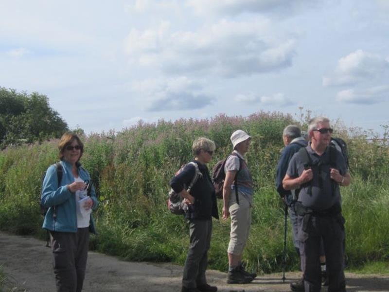
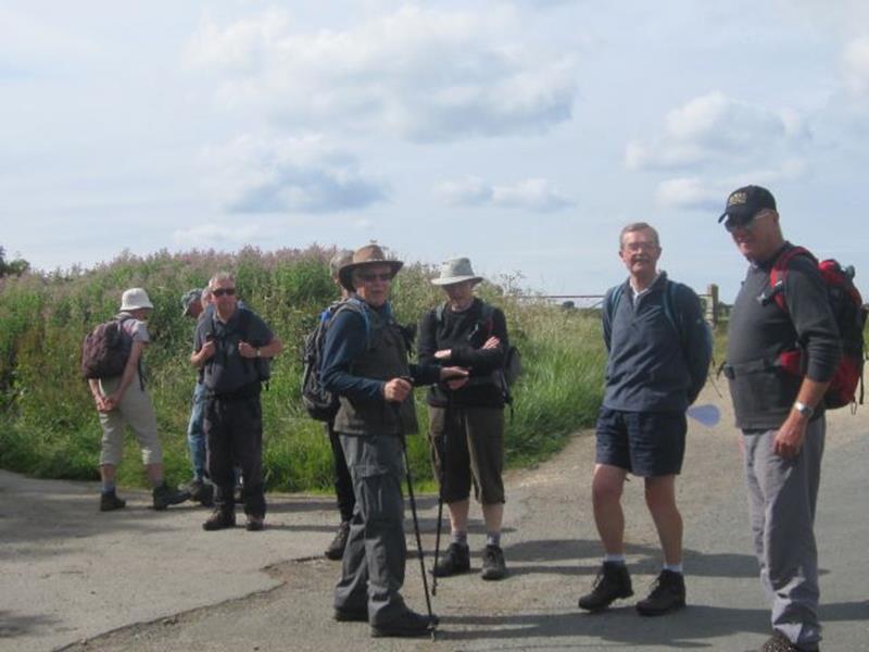
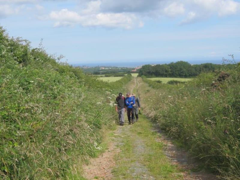
| Pics below by Chris Bibby | |||
 |
|||
 |
|||
 |
|||
 |
|||
 Making use of a stile that was restored by a Scarborough group working party. |
|||
 |
|||
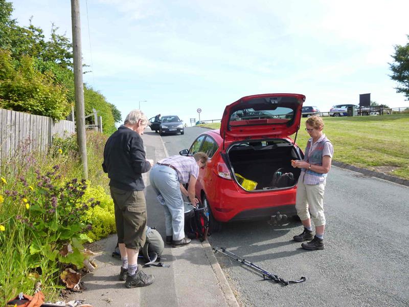
| Pics below by Gary Malcolm | |||
 |
|||
 |
|||
 |
|||
 |
|||
 |
|||
 |
|||
 PRE-WALK INFO: (If supplied) Walk leader's
description of start point/general information about route.
The walk starts from the lay-by on the A171 at Hawsker. There is
limited parking space in the lay-by but ample space in the lane
behind.
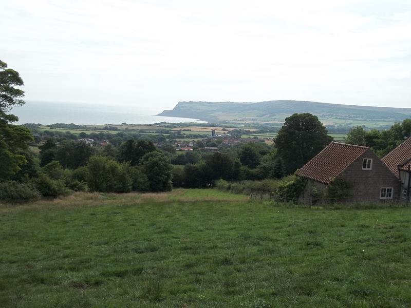
We'll follow quiet lanes, tracks and paths down to the shore at
Boggle Hole. The tide will be in so we'll join the Cleveland Way
to Robin Hood's Bay for our lunch stop, continuing along the Way
with spectacular coastal views to Hawsker Bottoms, returning to
Hawsker via a caravan park and a short section of the cinder
track.
Inevitably at this time of year (as I discovered last week!)
some paths are overgrown with vegetation and so long trousers
and insect repellent are recommended.
|
|||