|
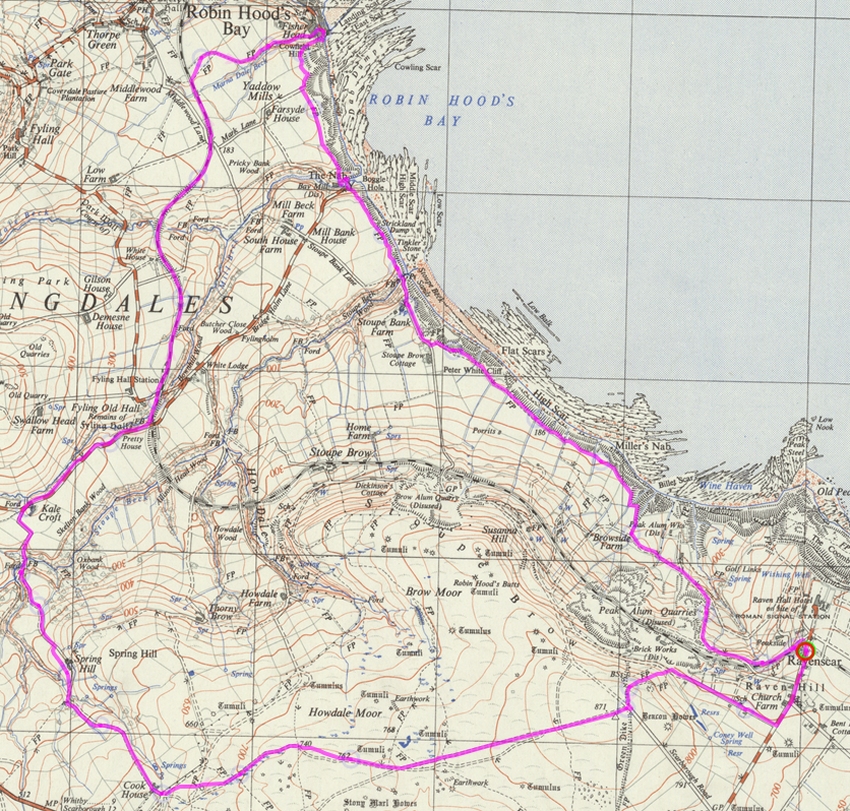
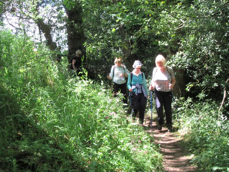
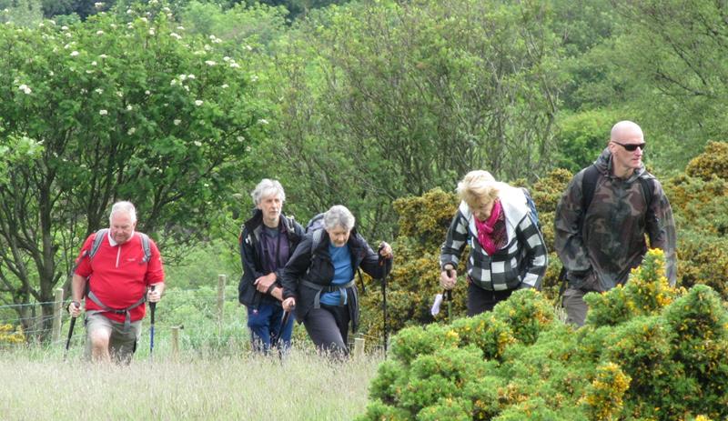
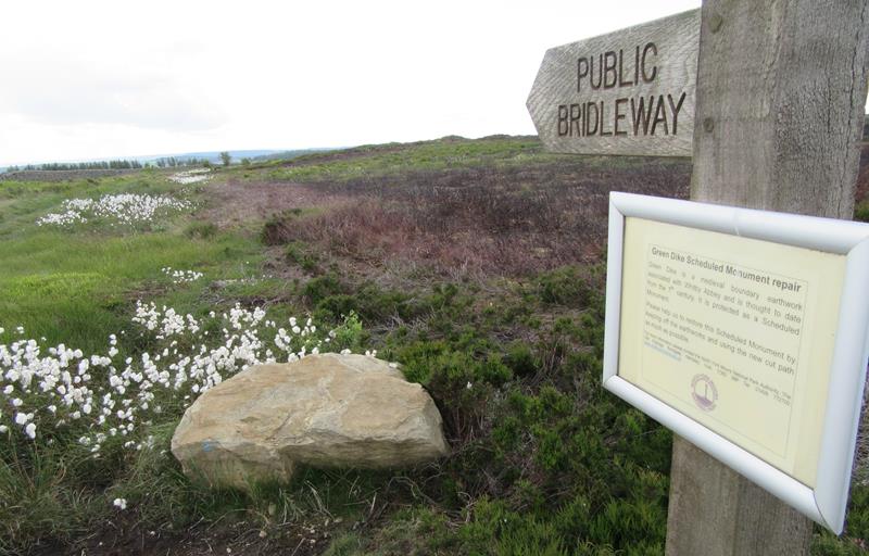
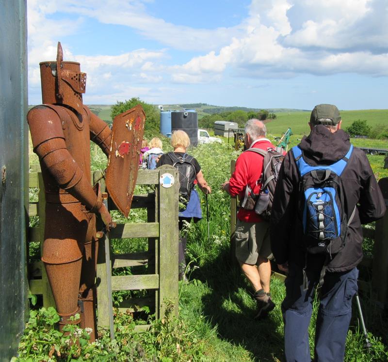
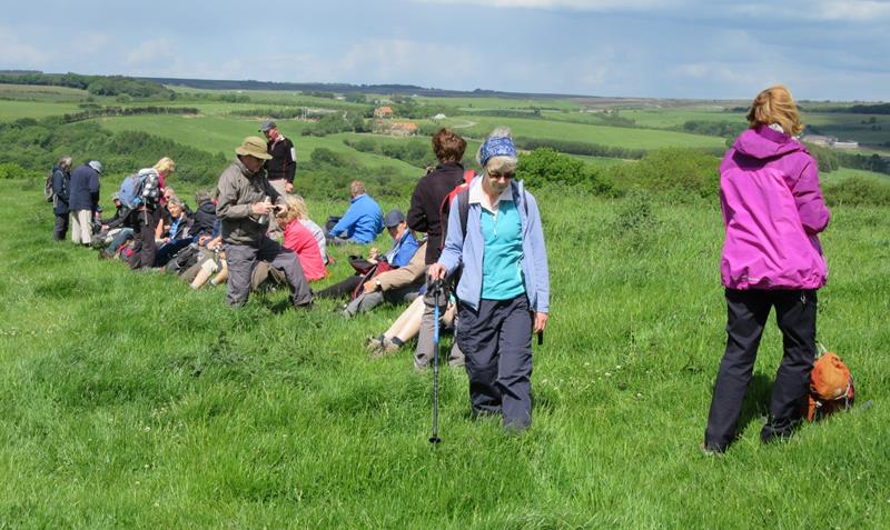
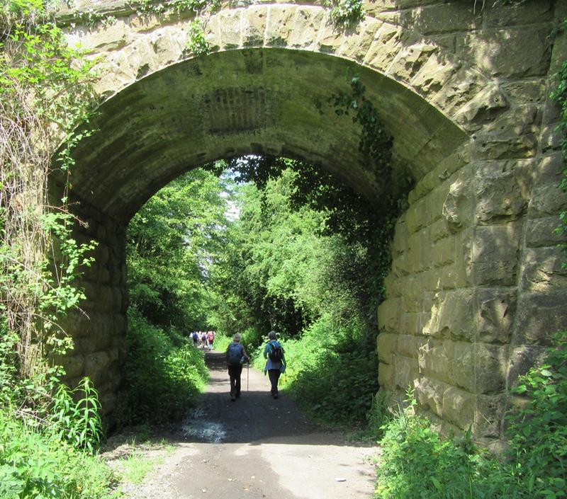
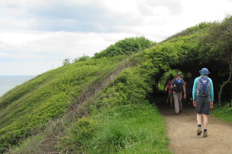
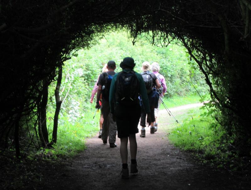
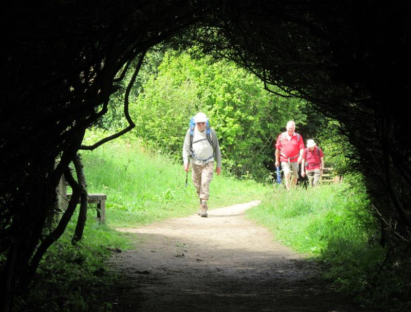
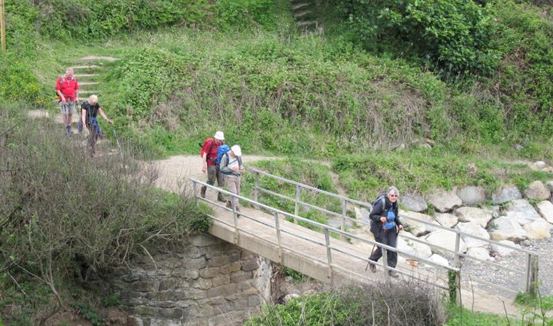
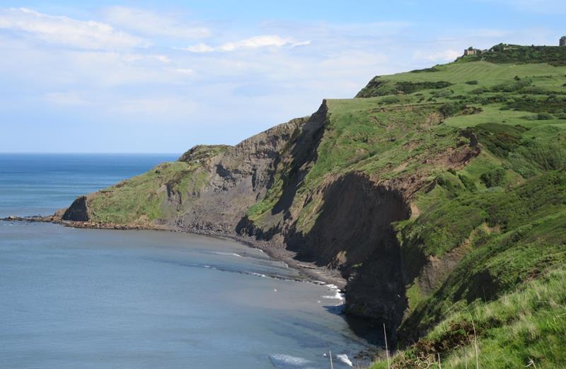
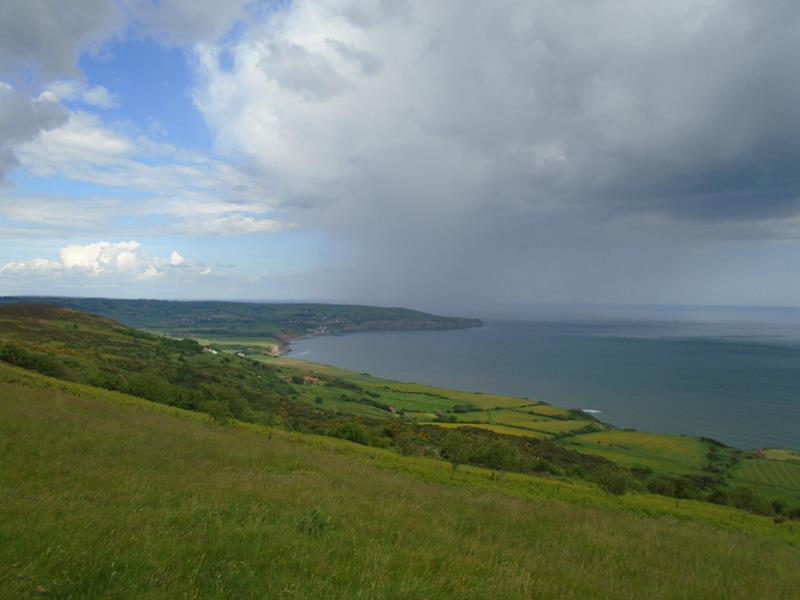
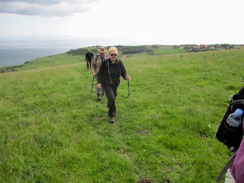
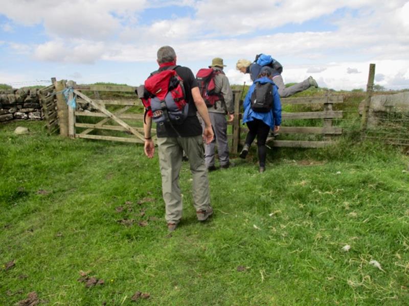
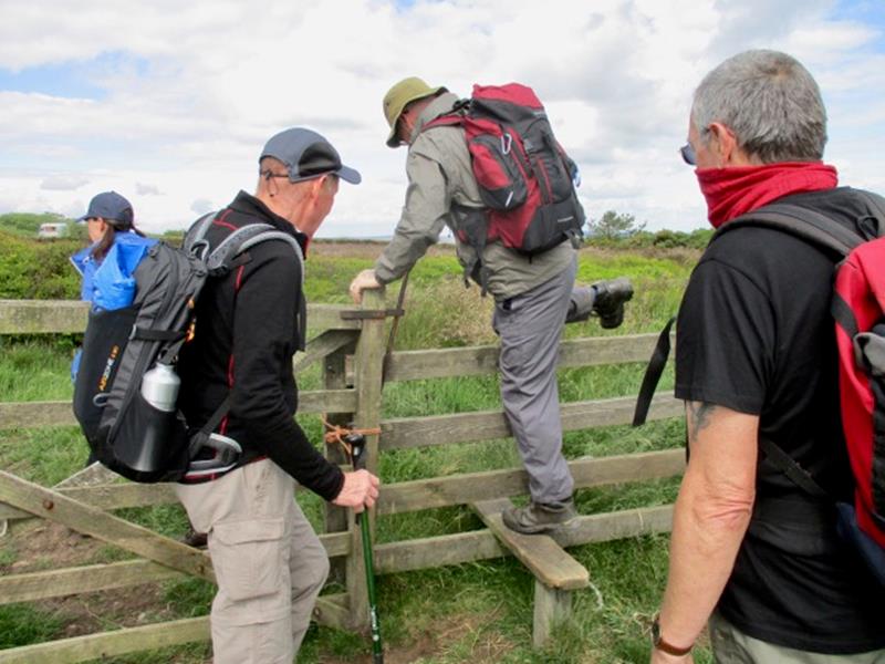
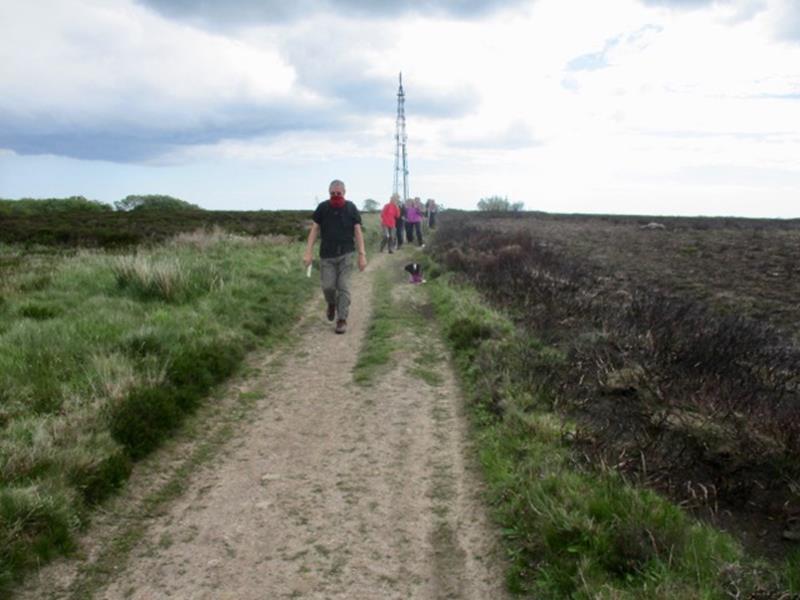
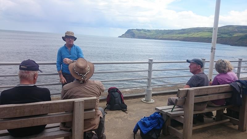
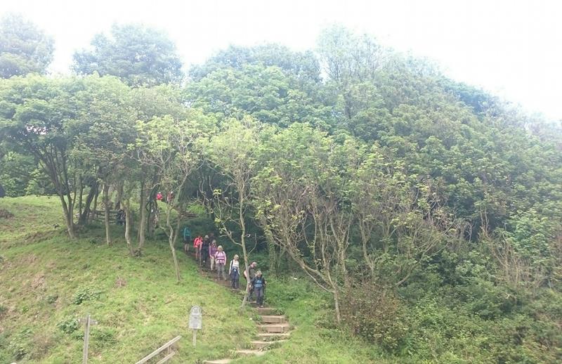
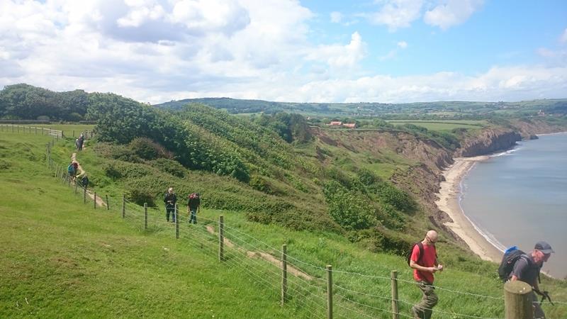
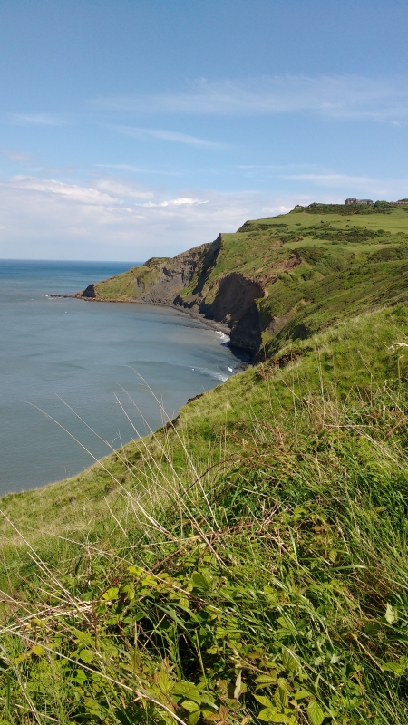
4 June Ravenscar, led by Tricia Mumford |
|
Never lose touch with the person ahead or the person behind |
| gpx track walkers: 24 (+6*) Distance: 10 miles
Total ascent: 1360ft * 6 people joined the walk near Ravenscar and left near RHB to walk a shorter route Back marker: Richard Bedford Mapping data supplied by Wayne Dosdale Extra pics by Peter Bettany, Wayne Dosdale, Donna Dosdale and Bob Clutson |
|
|
|
|
|
|
 |
|
|
 |
|
|
|
|
 |

|
 |
 |
|
|
|
|
 |
 |
 |
 |
  |
| Pics below by Wayne Dosdale |
 |
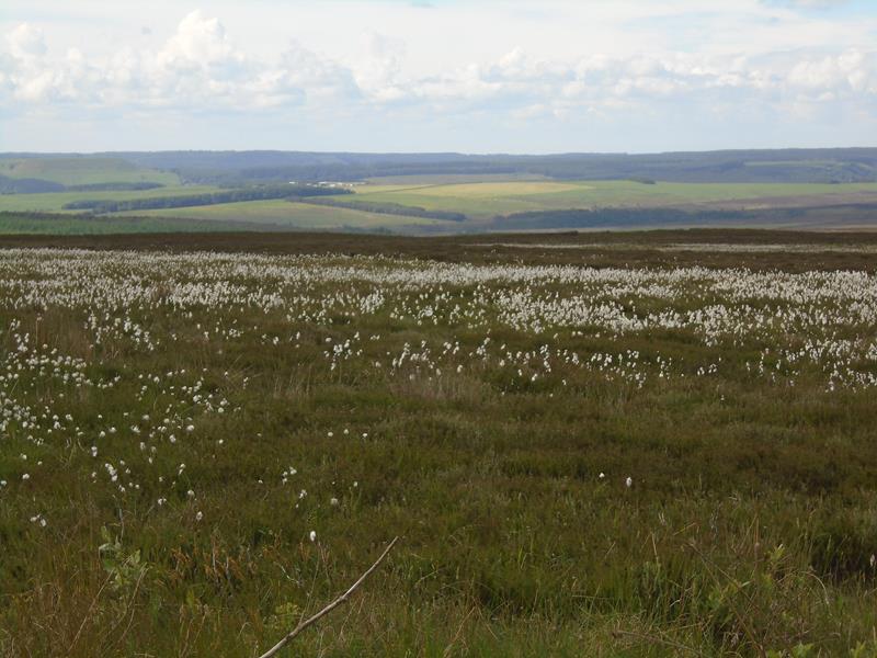 |
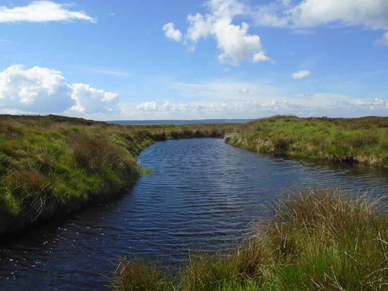 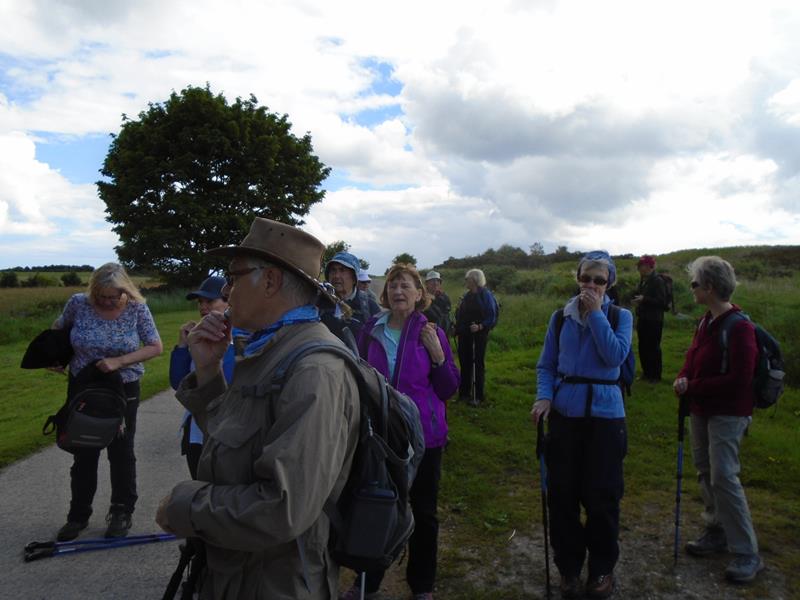 |
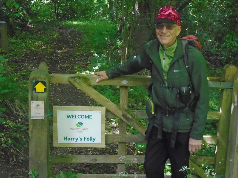 |
 |
| Pics below by Peter Bettany |
 |
 |
 |
 |
 |
 |
 |
 |
 |
 |
 |
 |
 |
| Pics below by Donna Dosdale |
 |
 |
 |
 |
 |
 |
 |
 |
| Pics below by Bob Clutson |
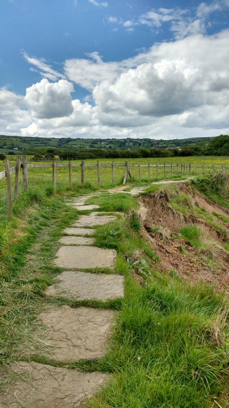 Coast erosion on the Cleveland Way |
 |
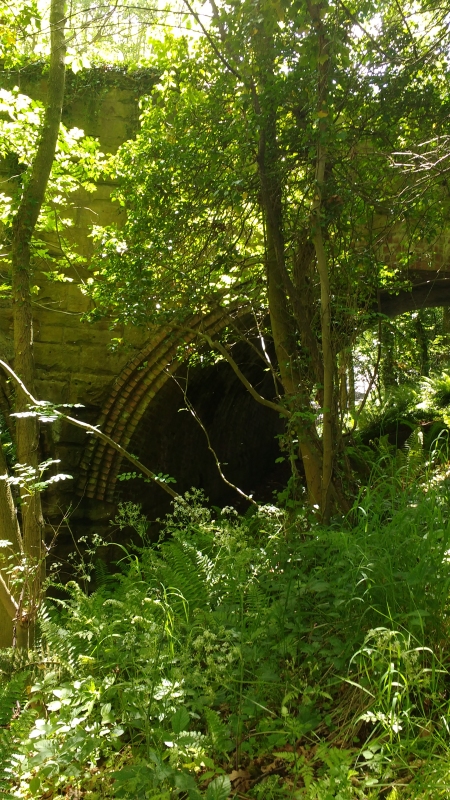 Brickwork at Boggle Hole |
 PRE-WALK INFO: (If supplied) Walk leader's
description of start point/general information about route.
|